
What Does Drone Thermal Imaging Detect in the Field?
A roof can look intact from the ground while trapped moisture is quietly weakening insulation beneath the membrane. A power connection can appear normal until excess heat signals a developing failure. These are the practical answers to the question, what does drone thermal imaging detect: temperature differences that point to conditions worth investigating before they become more expensive, dangerous, or difficult to reach.
Thermal drones do not simply produce dramatic heat maps. When properly deployed, they provide fast, aerial temperature data that helps property owners, managers, farmers, and response teams make better decisions. The value is not the image alone. It is the ability to locate an anomaly, document it precisely, and determine the right next step.
What Does Drone Thermal Imaging Detect?
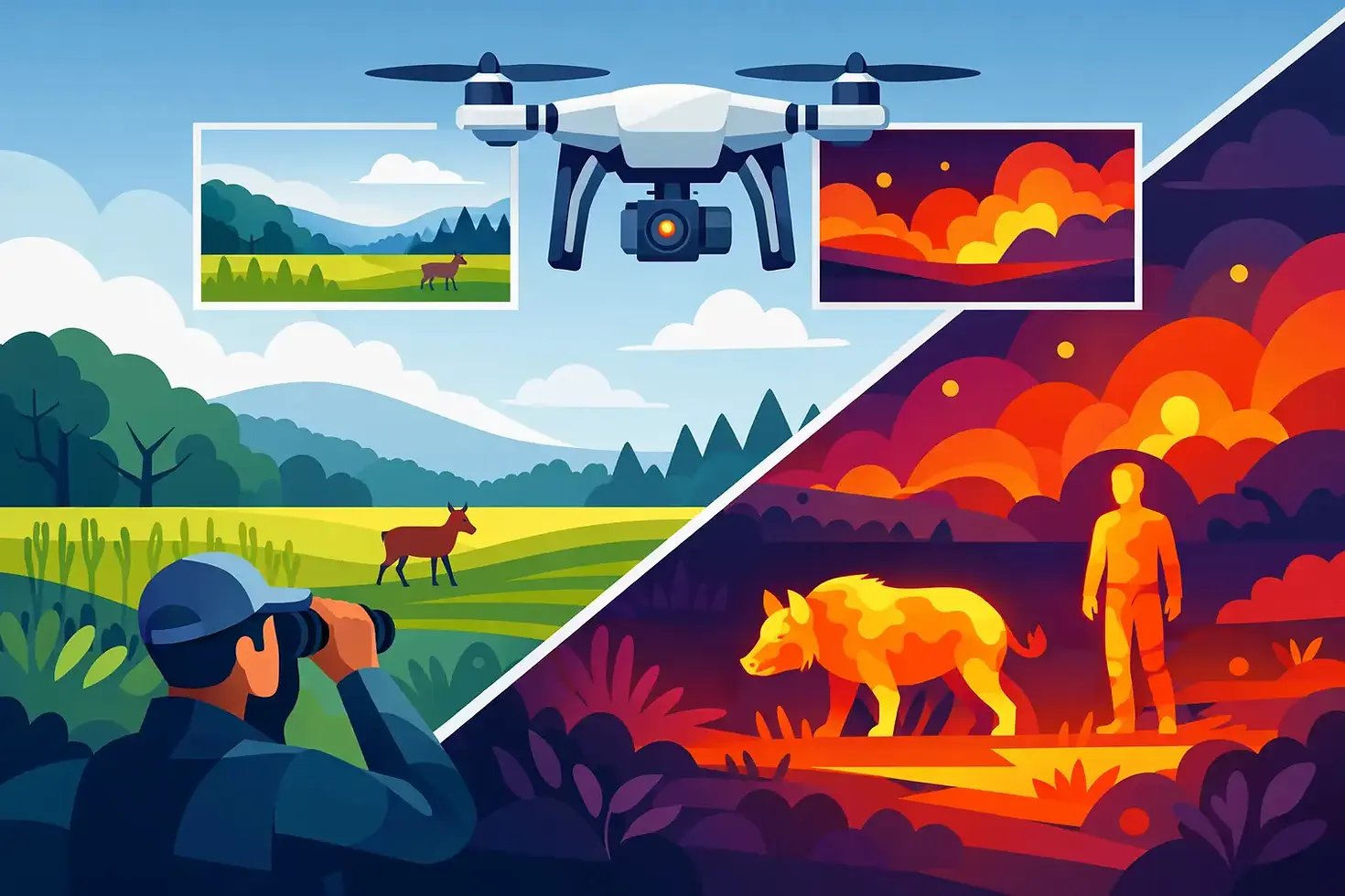
A thermal camera detects infrared energy emitted from surfaces and converts that energy into a visual image. Warmer and cooler areas appear as different colors or shades, depending on the camera palette and settings. The result is an apparent temperature map of the scene.
That distinction matters. Thermal imaging detects surface temperature patterns, not hidden objects with perfect certainty. A warm spot may indicate electrical resistance, a heat leak, sun exposure, reflected energy, or operating equipment. A cool area on a flat roof may suggest moisture, but it can also be caused by shade, material differences, or recent weather conditions.
A qualified operator interprets the image in context. Flight timing, weather, building materials, emissivity, camera calibration, viewing angle, and site conditions all affect the result. Thermal data is highly useful, but it should guide inspection and verification rather than replace sound field judgment.
Common Conditions Thermal Drones Can Reveal
Roof Moisture and Insulation Deficiencies
Thermal roof inspections are one of the most valuable uses of aerial infrared imaging. Moisture trapped within roofing materials often retains heat differently than dry areas. After the right daytime heating cycle and evening cooldown, wet insulation may stand out as a distinct thermal pattern.
Drones can cover large commercial roofs efficiently without putting personnel on steep slopes, fragile surfaces, or hard-to-access structures. They can also identify likely areas of heat loss around roof penetrations, seams, flashing, HVAC curbs, and damaged insulation. The thermal image does not confirm every leak on its own, but it gives contractors and facility teams a focused starting point for closer evaluation.
Electrical Hotspots
Electrical components generate heat as they carry load. Excessive heat can indicate loose connections, overloaded circuits, corrosion, imbalance, failing components, or elevated resistance. Thermal drone inspections can help identify unusual heat signatures around solar arrays, substations, utility equipment, rooftop electrical systems, and other assets where direct access may be limited or hazardous.
The key word is unusual. An operating component may be expected to run warm. The concern is a component that is significantly hotter than comparable equipment under similar conditions. Capturing this information from a safe stand-off distance supports preventive maintenance and better maintenance prioritization.
HVAC and Mechanical Equipment Issues
Rooftop HVAC systems are often out of sight until comfort complaints, energy costs, or equipment failures force attention. Thermal imaging can reveal irregular temperature patterns around equipment, ductwork, vents, and mechanical connections.
For example, a system may show uneven discharge temperatures, heat escaping from poorly insulated ductwork, or a component operating hotter than neighboring units. These findings do not replace a technician's diagnostic work, but they help maintenance teams decide where to look first and create visual documentation of observed conditions.
Solar Panel Defects
A solar panel with a damaged cell, poor connection, shading issue, or internal defect can develop a thermal anomaly commonly called a hotspot. During an aerial thermal survey, affected panels may appear warmer than adjacent panels operating under the same sun exposure and load conditions.
For large solar installations, drone-based thermal imaging reduces the time required to inspect arrays visually. It can help operators identify underperforming sections, prioritize repairs, and document asset conditions without walking every row. Accurate results depend on appropriate solar irradiance, camera settings, flight altitude, and analysis by someone who understands the system being inspected.
Crop Stress, Irrigation Concerns, and Livestock
In agriculture, thermal imaging can reveal field variability that is not obvious from a truck, ATV, or ground-level walkthrough. Plants under water stress may show elevated canopy temperatures because reduced transpiration limits their natural cooling process. Thermal patterns can also help identify irrigation gaps, clogged nozzles, leaking lines, drainage problems, and sections of a field responding differently to heat.
The technology is especially useful when paired with visible imagery and field knowledge. A warmer crop area may be related to water stress, but soil type, plant stage, disease pressure, weed competition, and weather can influence the reading. Thermal data helps direct scouting crews to the areas where verification can produce the greatest value.
For livestock operations, a thermal drone may assist with locating animals in low light, identifying animals that appear unusually warm or cool, and checking broad areas without disturbing a herd. Any health-related observation should be confirmed by animal care professionals rather than treated as a diagnosis.
People, Animals, and Heat Sources in Search Operations
Thermal sensors can detect the heat contrast between a person or animal and the surrounding environment. That makes them valuable for search and rescue, nighttime perimeter checks, and locating wildlife in brush, fields, wooded areas, or difficult terrain.
Performance depends heavily on environmental conditions. A person is easier to detect against cool ground than against sun-warmed pavement, dense vegetation, or a building roof holding heat after sunset. Thermal cameras also cannot reliably see through walls, dense tree cover, water, or heavy debris. They detect heat on visible surfaces and through line-of-sight openings, not through solid barriers.
For public safety and mission-critical operations, disciplined flight planning is essential. The operator must account for airspace, battery endurance, terrain, weather, communications, search patterns, and the need to rapidly relay usable information to personnel on the ground.
Fire, Smoldering Areas, and Utility Concerns
Thermal imaging can help identify active fire edges, hotspots, smoldering material, and residual heat after an incident. It may also support inspections around utility corridors, industrial equipment, and remote facilities where a developing heat issue needs quick situational awareness.
However, thermal imagery has limitations around reflective surfaces, smoke, steam, and rapidly changing temperatures. It is a powerful layer of intelligence, not a substitute for incident command procedures, trained firefighters, or site-specific safety controls.
What Thermal Imaging Cannot Tell You by Itself
The most common misunderstanding is that a thermal drone can see through walls or directly identify every problem below a surface. It cannot. A thermal camera sees infrared radiation from the surface it can view. It may reveal a pattern consistent with missing insulation behind a wall or a possible moisture issue below a roof membrane, but the underlying cause still requires confirmation.
Thermal images can also be misleading when captured at the wrong time. A roof inspection flown in full sun may reflect solar loading rather than moisture. Wind can cool surfaces unevenly. Rain can mask thermal differences. Shiny metal, glass, and water can reflect heat from the sky, sun, equipment, or the operator's surroundings.
That is why mission planning matters as much as the aircraft and camera. The right inspection window, flight path, altitude, overlap, and reporting method turn a colorful image into useful operational information.
Turning Heat Data Into Action
A professional thermal mission begins with a clear objective: locate suspected roof moisture, inspect electrical assets, assess crop irrigation, support a search, or document a specific site condition. From there, the operator selects the proper timing and captures thermal and visible-light imagery that can be compared side by side.
The deliverable should be more than a folder of images. Decision-makers need annotated findings, location references, supporting visual photos, and a practical explanation of what the thermal pattern may indicate. For higher-stakes work, follow-up inspection by the appropriate trade professional is part of the process.
Gods Eye Drone approaches thermal work with that operational mindset. Advanced aerial sensors are only as useful as the planning, safety discipline, and interpretation behind them. When temperature differences are documented clearly and tied to a real maintenance, safety, or response decision, thermal imaging becomes a practical advantage rather than just another camera view.
The best time to use a thermal drone is before uncertainty turns into downtime, property damage, or a missed opportunity to act. A well-planned flight can make the next decision clearer while keeping people off hazardous surfaces and focused on the areas that need attention.


Comments