
Innovative Drone Imaging Services: Elevating Perspectives with Cutting-Edge Technology
In today’s fast-paced world, the sky is no longer the limit—it’s the starting point. With the rise of drone technology, capturing breathtaking aerial views and precise data has become more accessible and efficient than ever. I’ve witnessed firsthand how innovative drone imaging services are transforming industries, providing a bird’s-eye view that’s not just about stunning visuals but about actionable insights. Whether it’s mapping vast agricultural fields, inspecting infrastructure, or creating immersive real estate tours, drones are rewriting the rules of aerial data collection.
Unlocking the Power of Drone Imaging Services
Drone imaging services have evolved from simple photography to sophisticated data-gathering tools. These services combine high-resolution cameras, thermal sensors, and LiDAR technology to deliver comprehensive aerial data. The result? Businesses and agencies can make smarter decisions faster, saving time and resources.
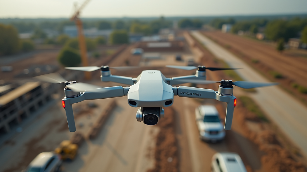
Take agriculture, for example. Instead of walking acres of farmland, farmers can now deploy drones to monitor crop health, detect irrigation issues, and even predict yields. This proactive approach minimizes waste and maximizes output. Similarly, in construction, drones provide real-time progress updates and safety inspections, reducing the need for risky manual checks.
The versatility of drone imaging services is staggering. From environmental monitoring to disaster management, the ability to capture detailed aerial data is a game-changer. It’s like having a superpower that lets you see the unseen and understand the complex from a simple vantage point.

How much do drone photographers get paid?
If you’re curious about the financial side of drone imaging, the compensation for drone photographers varies widely based on experience, location, and the complexity of the projects. Entry-level drone operators might earn around $30,000 to $40,000 annually, while seasoned professionals with specialized skills can command upwards of $70,000 or more.
Freelancers often charge per project or per hour, with rates ranging from $100 to $300 per hour depending on the service scope. Commercial projects, such as real estate marketing or industrial inspections, tend to pay more due to the technical expertise required.
The demand for skilled drone photographers is growing, and with it, the opportunity to build a lucrative career. Investing in certifications and mastering advanced drone technologies can significantly boost earning potential. It’s a field where passion meets profit, and the sky truly is the limit.
The Technology Behind Next-Gen Aerial Imaging
What makes modern drone imaging services so innovative? It’s the fusion of cutting-edge hardware and intelligent software. Drones today are equipped with multi-sensor payloads that capture not just images but also thermal, multispectral, and 3D data.
For instance, LiDAR sensors emit laser pulses to create detailed 3D maps of terrain and structures, even through dense foliage. This technology is invaluable for urban planning, forestry management, and archaeology. Meanwhile, thermal cameras detect heat signatures, helping identify energy leaks in buildings or hotspots in wildfire zones.
On the software side, AI-powered analytics transform raw data into actionable insights. Automated image stitching, object recognition, and change detection streamline workflows, allowing clients to focus on decision-making rather than data processing.
The integration of GPS and real-time data transmission means drone operators can monitor flights and data collection live, ensuring precision and safety. This synergy of technology is what sets apart basic aerial photography from comprehensive aerial data solutions.
Practical Applications Across Industries
The beauty of drone imaging services lies in their adaptability. Here are some standout applications that demonstrate their value:
Agriculture: Crop health monitoring, soil analysis, irrigation management, and yield prediction.
Construction and Infrastructure: Site surveying, progress tracking, safety inspections, and structural assessments.
Real Estate: Creating immersive property tours, showcasing large estates, and marketing commercial developments.
Environmental Conservation: Wildlife monitoring, habitat mapping, and pollution tracking.
Emergency Response: Disaster assessment, search and rescue operations, and damage documentation.
Utilities: Inspecting power lines, pipelines, and wind turbines to prevent failures and optimize maintenance.
Each of these applications benefits from the precision and speed that drone imaging services provide. They replace time-consuming manual methods with efficient, data-rich alternatives that empower stakeholders to act decisively.
Choosing the Right Drone Imaging Partner
Selecting a drone imaging provider is more than just picking a company with drones. It’s about finding a partner who understands your unique needs and delivers reliable, high-quality results. Here’s what I recommend considering:
Experience and Expertise: Look for providers with a proven track record in your industry.
Technology Stack: Ensure they use the latest drones and sensors suited to your project.
Data Security: Confirm that your data will be handled securely and confidentially.
Regulatory Compliance: The provider should be fully licensed and compliant with local aviation laws.
Customer Support: Responsive communication and post-project support are crucial.
By focusing on these factors, you can ensure your investment in drone imaging services yields maximum returns.
The Future of Aerial Data Collection
The horizon for drone imaging is bright and expanding. Innovations like swarm drone technology, enhanced AI analytics, and longer flight times are on the way. Imagine fleets of drones working in harmony to cover massive areas in record time or AI systems that instantly interpret complex data sets.
As these advancements unfold, the potential for aerial imagery solutions to revolutionize industries will only grow. Businesses and agencies that embrace these technologies early will gain a competitive edge, unlocking new efficiencies and insights.
In this evolving landscape, staying informed and adaptable is key. The sky is not just a backdrop but a dynamic platform for innovation and opportunity.
If you’re ready to elevate your projects with reliable, high-quality drone imaging services, exploring aerial imagery solutions is the first step toward transforming your perspective and your outcomes.


Comments