
Commercial Drone Services Guide for Buyers
- May 26
- 6 min read
A drone flight that lasts 20 minutes can save a roofing team a full day of ladder work, give a farmer early warning on crop stress, or help an agency document a scene without shutting down operations longer than necessary. That is the real value behind a commercial drone services guide - not the aircraft itself, but the speed, visibility, and decision-ready information it can provide when the job is done right.
For buyers, that distinction matters. Commercial drone services are often treated like a simple media purchase, as if every provider is selling the same thing with a camera in the sky. In practice, the gap between a basic drone operator and a professional service partner is significant. Experience, safety standards, sensor quality, flight planning, compliance knowledge, and the ability to turn aerial data into something useful all affect the outcome.
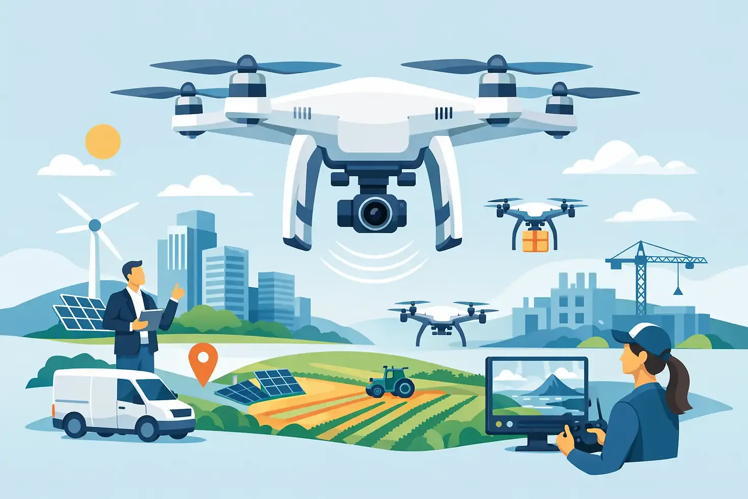
What commercial drone services actually include
The term covers far more than aerial photos. In some projects, the deliverable is cinematic video for a property listing, event, or brand campaign. In others, it is a technical inspection package showing roof damage, thermal anomalies, storm impact, equipment condition, or construction progress. For agriculture, the goal may be monitoring field conditions and identifying problem areas before they spread. For public safety and operational support, the priority is situational awareness, documentation, or faster search coverage.
That range is why buyers should start with the mission, not the aircraft. A wedding client may care most about smooth footage, timing, and discretion. A facilities manager needs clear imagery, repeatable coverage, and organized reporting. A law enforcement or emergency response team may need rapid deployment, disciplined coordination, and pilots who understand controlled operations. The same platform category can serve all of these needs, but the service model should be tailored to the job.
A commercial drone services guide to common use cases
Inspections and asset assessment
Inspection work is one of the strongest business cases for drones because it reduces access risk and shortens timelines. Roofs, towers, solar arrays, industrial structures, and hard-to-reach building exteriors can be documented from the air without putting personnel in unnecessary danger. High-resolution imagery helps teams spot wear, storm damage, drainage issues, and visible defects.
Thermal imaging adds another layer when the job calls for heat signature analysis. That can be useful for identifying moisture intrusion, insulation gaps, electrical hot spots, or equipment issues. Thermal data is powerful, but it is not magic. Weather conditions, material properties, and the pilot's interpretation all affect what the results mean. Good providers are careful about that and avoid overstating findings.
Real estate, hospitality, and marketing
For visual marketing, drones add scale and context that ground photography cannot always capture. They show lot lines, surrounding amenities, approaches, elevation, and the relationship between a property and its environment. For commercial listings, they can help buyers understand access routes, traffic flow, and nearby development. For resorts, venues, and event spaces, aerial footage helps sell experience.
This category is often where buyers underestimate the difference between average and professional work. Good drone media is not just a wide shot from high altitude. It is planned around lighting, composition, movement, editing, and the audience that needs to act on the content.
Agriculture and land management
On farms and large properties, the value of drones often comes from seeing problems early. Aerial reviews can help identify irrigation concerns, standing water, drainage patterns, crop stress, fence issues, and changes across large acreage that are hard to catch consistently from the ground. This does not replace agronomic expertise, but it does give landowners and operators a faster way to see where attention is needed.
The right approach depends on the question being asked. Sometimes standard aerial imagery is enough. In other cases, thermal or specialized sensors provide more useful insight. The best provider will not push advanced tools when a simpler flight can answer the problem.
Public safety and mission support
For agencies and organizations operating in time-sensitive environments, drones can support overwatch, search efforts, documentation, route assessment, and live situational awareness. In these settings, professionalism is not optional. Flight discipline, chain of communication, airspace awareness, and operational judgment matter as much as image quality.
This is one area where provider background can make a real difference. Teams with military, aviation, or mission-oriented operational experience often bring a different standard of preparation and accountability to the field.
What to look for in a provider
Licensing and insurance are the baseline, not the selling point. A legitimate commercial operator should be properly certified, insured, and prepared to discuss how they manage flight safety, site conditions, airspace restrictions, and client requirements. If that conversation feels vague, the service probably is too.
Beyond compliance, ask how the provider plans missions. A serious operator should be able to explain how they assess the site, choose equipment, account for weather, protect people and property, and capture the specific outputs you need. If your project involves inspections, ask whether they have experience with technical documentation rather than only promotional photography. If your job requires thermal imaging, ask about the sensor, the process, and what level of interpretation they can responsibly provide.
Turnaround time also matters, but speed should not come at the expense of usable results. Fast delivery is valuable when it still includes organized files, clear labeling, and footage or imagery that supports decisions. A folder full of random aerial shots is not the same as a service package.
Questions buyers should ask before hiring
A useful first question is simple: what problem are we trying to solve? If you need to verify roof condition for insurance or maintenance planning, the scope should focus on evidence, detail, and repeatability. If you need event footage, the scope should focus on timing, aesthetics, and coordination. That one question keeps the conversation grounded.
It also helps to ask what deliverables are included. Will you receive edited video, raw imagery, still photos, thermal files, inspection notes, or a formal report? How soon will files be delivered, and in what format? Buyers often assume these details are standard when they are not.
Then ask about limitations. A trustworthy provider will tell you where drone operations may be affected by weather, airspace, site hazards, privacy concerns, or the need for additional permissions. That kind of candor is a good sign. Overpromising usually shows up later as delays or compromised work.
Cost, value, and the trade-offs
Pricing varies because projects vary. A short real estate shoot is not priced like a thermal roof inspection across multiple structures, and neither should be compared to ongoing construction documentation or public safety standby support. Travel, equipment, editing, reporting, airspace coordination, and urgency all affect cost.
The lowest quote can be the most expensive choice if it results in poor data, repeat visits, or missed issues. At the same time, higher pricing only makes sense when it reflects capability and a clear service outcome. Buyers should look for value in terms of risk reduced, time saved, better documentation, and stronger decision-making.
In many cases, the right provider is not the one with the fanciest drone. It is the one with the discipline to plan the mission correctly, fly safely, and deliver material that serves the real objective.
When specialized capability matters
Not every project needs thermal sensors, AI-assisted review, or advanced operational support. But when the mission is complex, those capabilities can change the result. Thermal imaging can reveal issues that standard visual inspection misses. AI-supported analysis may help process larger volumes of imagery. Experienced aerial photographers can make visual content more persuasive and more usable.
Where buyers should be careful is assuming every advanced feature applies to every assignment. More technology does not automatically equal better service. The question is whether the tool fits the mission and whether the operator knows how to use it with discipline.
For clients in Kansas and beyond who need more than generic flyover footage, this is where a company like Gods Eye Drone stands apart. Certified piloting, technical imaging capability, and a mission-ready operating mindset are what make aerial data useful when the stakes are real.
The best results come from clarity on the ground
A successful drone project usually starts before takeoff. The clearer you are about your site, timeline, constraints, and desired outcome, the better the flight plan and the final deliverables will be. Good providers will guide that process, but informed clients help it move faster and produce stronger results.
If you are considering drone support for inspections, property marketing, agriculture, events, or operational use, treat it like any other professional service purchase. Ask what the mission is, what the output will be, and how the provider handles safety, quality, and accountability. The right flight is not just impressive to watch. It gives you something useful the moment the aircraft lands.


Comments