
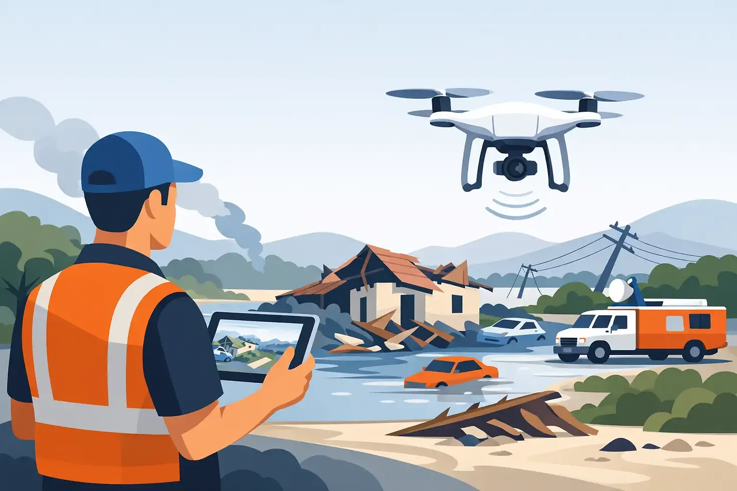
A Drone Disaster Assessment Example in the Field
Updated: Oct 5
A drone disaster assessment example is most useful when it shows more than dramatic aerial footage. After a severe storm, fire, flood, or structural failure, decision-makers need a clear answer to three questions: What happened, where are the hazards, and what needs attention first? A professionally planned drone mission can provide that answer without sending personnel into unstable, flooded, or otherwise unsafe areas.
Consider a realistic scenario: a powerful overnight windstorm moves through a commercial district, damaging roofs, uprooting trees, and knocking out power in several areas. By daylight, a property manager is responsible for a warehouse campus with multiple buildings, parked fleet vehicles, and limited access around fallen debris. Ground teams can see obvious damage from the parking lot, but they cannot safely inspect roof edges, HVAC equipment, drainage systems, or sections blocked by downed limbs.
That is where aerial assessment becomes operational support, not simply photography.
The Mission Starts Before the Drone Launches
A successful disaster assessment begins with coordination. The pilot confirms the client’s priority sites, identifies access points, reviews airspace requirements, monitors weather conditions, and establishes a safe launch and recovery area. If emergency operations are active nearby, the drone team must avoid interfering with manned aircraft, first responders, utility crews, or incident command.
The first flight objective is broad situational awareness. High-resolution overhead imagery documents the full site condition: roof surfaces, tree damage, debris fields, vehicle access routes, standing water, and possible hazards around structures. This broad pass gives the property manager a current visual record before cleanup crews move debris or temporary repairs change the scene.
The second objective is targeted inspection. A certified pilot can capture close, controlled views of roof penetrations, lifted flashing, torn membrane seams, damaged gutters, displaced rooftop equipment, and blocked drainage paths. Those images are captured from a safer standoff distance than a manual roof walk, particularly when surfaces may be wet, punctured, or structurally compromised.
Drone Disaster Assessment Example: From Imagery to Action
In this example, the initial aerial map shows that the warehouse roof has several areas of concern. One section near an HVAC unit has visible membrane damage. Another portion has a large branch resting across the roofline. A drainage basin is filled with debris and standing water. The main employee entrance is clear, but the rear loading route is obstructed by fallen limbs and a damaged fence panel.
A thermal flight adds another layer of information. Thermal imaging does not magically diagnose every building problem, and results depend on weather, materials, surface temperature, and the time of day. However, when used correctly, it can help identify temperature anomalies that deserve closer examination. In this case, a cooler pattern around one roof area may indicate moisture retention beneath the surface. It is not a final conclusion by itself, but it gives the roofing contractor a defined area to inspect first.
The result is a prioritized damage picture rather than a folder of disconnected images. The property manager can direct crews to clear the rear route, restrict access beneath the damaged roof section, schedule a roofer for the suspected moisture area, and document conditions for insurance and repair planning. The assessment shortens the time between discovery and decision because the right people can review the same visual evidence.
What a Useful Assessment Deliverable Includes
Raw drone footage has value, but it can also create confusion when stakeholders need clear next steps. A useful deliverable organizes the information around the client’s operational needs. For a storm-damaged commercial site, that commonly includes annotated aerial photos, a site overview, close-up inspection images, thermal images where appropriate, and a concise list of observed conditions.
The report should distinguish between what is visible and what requires further verification. For example, “visible roof membrane separation near the northeast HVAC unit” is an observation. “Active water intrusion” may require confirmation from a qualified roofing professional or interior inspection. This distinction protects the integrity of the assessment and prevents aerial data from being overstated.
Time-stamped imagery also matters. Insurance carriers, contractors, facility teams, and owners often need documentation showing the condition of a property before major cleanup or repairs begin. A disciplined image set can establish a reliable baseline, support estimates, and help track repair progress over time.
For public-sector or emergency response use, the same principle applies at a larger scale. Maps and imagery should support command decisions, route planning, resource allocation, and public safety. The drone operator’s role is to collect accurate aerial intelligence within the assigned mission, not to create unnecessary congestion around an active incident.
Where Drones Help and Where They Do Not
Drone assessment is especially valuable when access is dangerous, time is limited, or a site is too large to evaluate quickly from the ground. Wind damage, hail impacts, wildfire exposure, floodwater, bridge access, agricultural loss, and search-area reconnaissance can all benefit from an aerial perspective. For Kansas City property owners and operators, severe weather can make rapid documentation particularly valuable after a fast-moving storm.
Still, a drone is not a substitute for every on-site professional. Aerial imagery cannot determine whether a wall is structurally sound, certify that electrical equipment is safe, or replace a licensed engineer’s evaluation. Dense smoke, heavy rain, strong winds, poor visibility, power lines, temporary flight restrictions, and active emergency aircraft can limit or stop operations entirely.
That is not a weakness in the process. It is the reason professional drone service depends on judgment. A qualified operator knows when a flight creates meaningful value, when a different sensor is needed, and when the safest decision is to wait. The goal is dependable information, not forcing a mission under unsuitable conditions.
Planning for Different Disaster Types
The assessment plan changes with the event. After a flood, the primary questions may involve water extent, blocked roads, compromised culverts, erosion, and access to isolated structures. After a fire, the focus may shift to perimeter documentation, hot-spot screening with thermal imaging when conditions allow, damaged roof materials, and hazards around utility infrastructure.
After a tornado or high-wind event, teams often need a rapid view of debris patterns, roof damage, damaged fences, access routes, and detached materials that could create secondary hazards. Agricultural clients may need to understand crop lodging, irrigation damage, washouts, or livestock access issues across acreage that would take hours to cover on the ground.
The technology can remain similar, but the mission question changes. That is why the best drone assessment begins with a conversation about decisions, not cameras. If the client needs to prioritize repairs, the capture plan should make prioritization easier. If the client needs insurance documentation, the imagery must be clear, organized, and traceable. If the client needs operational awareness, the flight should focus on routes, hazards, and current site conditions.
A Disciplined Process Protects the Result
Disaster scenes can be chaotic. The pressure to launch quickly is real, but speed without coordination can create risk or leave critical gaps in the record. A professional operation balances urgency with aviation safety, privacy considerations, site access control, and the requirements of the agencies or organizations involved.
That includes using appropriate aircraft and sensors, maintaining visual awareness, documenting flight conditions, securing data, and communicating findings in plain language. Advanced tools such as FLIR thermal imaging and AI-assisted review can add useful context, but they do not replace experienced interpretation. The final value comes from connecting aerial data to a practical decision.
For a property manager, that decision may be which roof section to isolate. For a farmer, it may be where to send a repair crew. For an emergency coordinator, it may be which road remains passable. Each outcome starts with an accurate view of the problem.
When conditions are uncertain, the most helpful next step is often a focused aerial assessment that gives responsible people a safer, clearer basis for action. Gods Eye Drone approaches that work with the same standard that high-stakes operations require: capture what matters, report it clearly, and help the client move forward with confidence.
Conclusion: The Power of Aerial Assessments
In conclusion, aerial assessments are not just about capturing stunning visuals. They are about delivering actionable insights. By understanding the unique needs of each situation, we can tailor our approach to provide the most relevant data. This ensures that our clients can make informed decisions quickly and efficiently.
When you choose Gods Eye Drone, you're not just getting aerial footage. You're gaining a partner committed to providing reliable, high-quality drone services. We aim to deliver precise data and visuals that help you make informed decisions and save resources. Trust us to be your go-to provider for all your aerial data needs.


Comments