
Drone Crop Monitoring Services That Pay Off
- May 10
- 5 min read
A field can look fine from the road and still be losing yield by the acre. That is the practical value of drone crop monitoring services - they show what is happening inside the crop canopy before stress becomes obvious, expensive, or irreversible.
For growers, ag managers, and landowners, timing matters as much as accuracy. A stand issue caught after emergence can change replant decisions. Irrigation inconsistency identified early can prevent a larger production loss. Disease pressure mapped in time can mean targeted treatment instead of broad, costly guessing. The point is not to collect pretty aerial images. It is to make better field decisions with less delay.
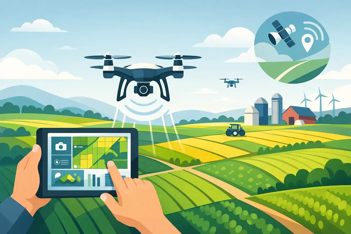
What drone crop monitoring services actually deliver
At their best, drone crop monitoring services turn a large, hard-to-read field into a usable map of conditions on the ground. Standard RGB imagery can reveal gaps, storm damage, lodging, ponding, and drainage patterns. Multispectral and thermal payloads add another layer by helping identify plant stress, moisture variation, canopy temperature differences, and uneven crop development.
That matters because most crop problems do not appear uniformly. A 160-acre field rarely fails all at once. It fails in zones. One edge may be compacted. A low area may hold water. A section may show reduced vigor because of nutrient limitations, insect pressure, or irrigation issues. When a drone survey is done correctly, those problem areas are isolated quickly so a grower can inspect the right spots instead of burning half a day checking the wrong ones.
This is also where service quality matters. Flying a drone is one thing. Collecting reliable agricultural imagery under the right weather, light, and altitude conditions is another. Data is only useful if it is consistent enough to support field action.
Why drone crop monitoring services are gaining ground
Agriculture already runs on tight margins and narrow decision windows. That makes speed valuable. Satellite imagery has improved, but cloud cover, resolution limits, and revisit timing can still create gaps when conditions change fast. Ground scouting remains essential, but it is labor-intensive and selective by nature. You can only walk so much acreage in a day.
Drone operations sit in the middle. They cover more ground than manual scouting and can be deployed when a field needs attention, not when a satellite happens to pass overhead. For farms dealing with variable rainfall, irrigation management, herbicide effectiveness, storm recovery, or uneven emergence, that timing can make the difference between a minor correction and a season-long problem.
They are also useful because they create documentation. If a grower needs to compare early-season stand establishment with mid-season vigor, assess storm damage, or verify whether a treatment improved a known problem area, repeat flights create a visual record tied to real field conditions. That is useful for operational decisions and, in some cases, for crop insurance or landlord reporting.
Where these services help most in the growing season
Early season monitoring is often where drone data pays for itself first. Emergence issues, skips, planter performance problems, crusting, washouts, and low spots are easier to identify from above than from the seat of a pickup. If the question is whether a field has a uniform stand or whether certain zones need closer inspection, aerial mapping gets you to an answer faster.
As the season progresses, the value shifts. Mid-season flights often focus on vigor differences, irrigation coverage, nutrient variability, weed escapes, and signs of disease or insect pressure. Not every discoloration tells the same story, and a drone cannot diagnose every agronomic issue by itself. What it can do is narrow the search area and reveal patterns that point a grower or agronomist to the likely cause.
Late-season flights can support harvest planning and damage assessment. Lodging after wind events, drought stress patterns, drainage problems, and uneven maturity all become easier to see at field scale. In specialty crops, aerial monitoring can also support canopy management and block-by-block evaluation where precision matters even more.
What a farmer should expect from the data
A useful drone service should provide more than a folder full of images. It should produce organized, interpretable outputs that help answer a decision-making question. That may include high-resolution orthomosaic maps, vegetation index imagery, thermal views, field-over-field comparisons, and flagged zones for follow-up scouting.
The right deliverable depends on the job. If the concern is emergence uniformity, clear visual mapping may be enough. If irrigation efficiency is the issue, thermal data may add more value. If a farm is tracking recurring stress in the same management zones, repeat flights and side-by-side comparisons become more important than a single snapshot.
There is also a trade-off between detail and frequency. Some farms benefit from scheduled monitoring across the season. Others only need deployment after a storm, during a suspected disease event, or when scouting points to a problem that needs a larger view. Good service is not about pushing the most expensive package. It is about matching the mission to the field condition.
The limits farmers should understand
Drone crop monitoring services are powerful, but they are not magic. They do not replace agronomy, tissue sampling, soil testing, or boots-on-the-ground verification. They improve visibility. That distinction matters.
A stress signature seen from above can suggest a moisture issue, fertility problem, compaction, pest pressure, or disease. The image shows the pattern. Confirming the cause still takes experience and field inspection. Weather also affects results. Wind, cloud cover, and time of day can influence image quality, especially with thermal and multispectral collection.
There are practical limits as well. Very large acreages may require a phased approach, especially if the goal is high-resolution mapping rather than a quick reconnaissance pass. And while drone data can support input efficiency, savings are not automatic. Results depend on acting on the information in time.
Choosing a provider for drone crop monitoring services
In agriculture, credibility matters more than marketing language. A provider should understand that crop monitoring is an operational service, not a hobby flight. That means legal compliance, safe flight planning, reliable equipment, and the ability to produce usable outputs under field conditions.
It also means asking the right questions before takeoff. What is the crop stage? What decision needs to be made? Is the concern drainage, stand count, irrigation, disease pressure, or storm damage? Are repeat flights needed? Without that mission clarity, even good imagery can become expensive clutter.
A strong provider will also be realistic about what sensors can and cannot show. Some jobs call for standard imagery. Others benefit from thermal or advanced sensors. More technology is not always better if it does not change the decision. Precision is valuable when it leads to action.
For farms and ag operations that need dependable field intelligence, working with a disciplined operator matters. Companies such as Gods Eye Drone bring an advantage when they combine certified piloting, advanced imaging capability, and a service mindset focused on practical outcomes rather than just flight time.
What the return on investment really looks like
The return is not only measured in yield saved, although that is part of it. It also shows up in labor efficiency, faster scouting, more targeted chemical use, improved irrigation response, and better documentation when conditions turn against you.
If a drone flight helps isolate a 12-acre problem zone in a 140-acre field, that changes how a team spends its day. If thermal imagery reveals irrigation inconsistency before crop stress becomes visible from the road, that creates a chance to correct it early. If repeat flights show whether a treatment worked, that improves confidence in the next decision.
For some growers, the biggest value is speed. For others, it is proof. For many, it is both. The technology works best when it supports operational judgment rather than trying to replace it.
Agriculture has never rewarded guesswork for long. When margins are tight and field conditions can shift in a week, better visibility is not a luxury. It is another tool for protecting yield, managing risk, and staying ahead of problems while there is still time to act.


Comments